Being able to quickly pinpoint the location of events such as landslides and pyroclastic flows will help rescue efforts, say the team behind a new technique for doing so
By Michael Le Page
6 May 2025
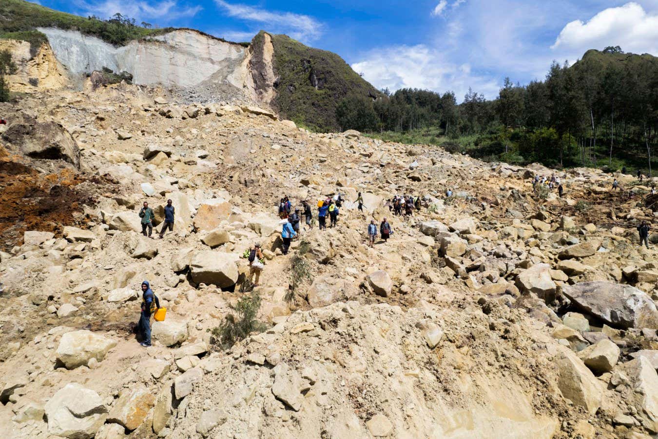
Local people searching the site of a landslide in Yambali, Papua New Guinea, in 2024
Xinhua/Alamy
When a dangerous landslide hits, rescuers scrambling to assist need to know exactly where to look – and now a new technique for analysing seismic data can do just that, by tracing the source of the disaster to within a few kilometres in mere seconds.
Existing methods can only narrow down locations to within tens of kilometres, says Stefania Ursica at the Helmholtz Centre for Geosciences in Germany. In remote areas, this can lead to delays if rescuers are sent to the wrong place. “That time loss can be crucial,” Ursica told a press conference at a meeting of the European Geosciences Union in Vienna last week.
Read more
World's first tunnel to a magma chamber could unleash unlimited energy
Advertisement
Many countries have a network of seismic monitors to record activity related to earthquakes and volcanoes. This data can also be used to detect events such as landslides – the risk of which is increasing due to climate change – but the data from these kinds of events is much messier and harder to analyse than that from earthquakes, says Ursica.
There are two novel aspects to her team’s approach, she says. The first is to analyse five different aspects of the seismic waveform to pick out from the noise exactly when an event occurred.
This information is then fed to a dozen or so mathematical agents that search for the location of the event, such as the initial rockfall leading to a landslide. They do this by estimating what waveform would have been produced if the event had happened in a particular spot and comparing it to the recorded waveform. If it doesn’t match, they try a different spot.